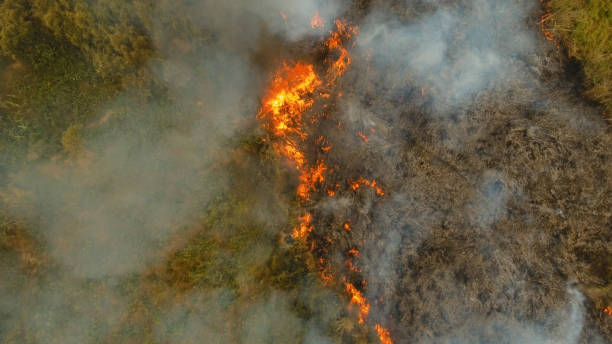
Stratolia makes up for the low frequency of satellite images. The best constellations can only provide one or two images per day over an area. Stratolia provides live observations, the second they occur.
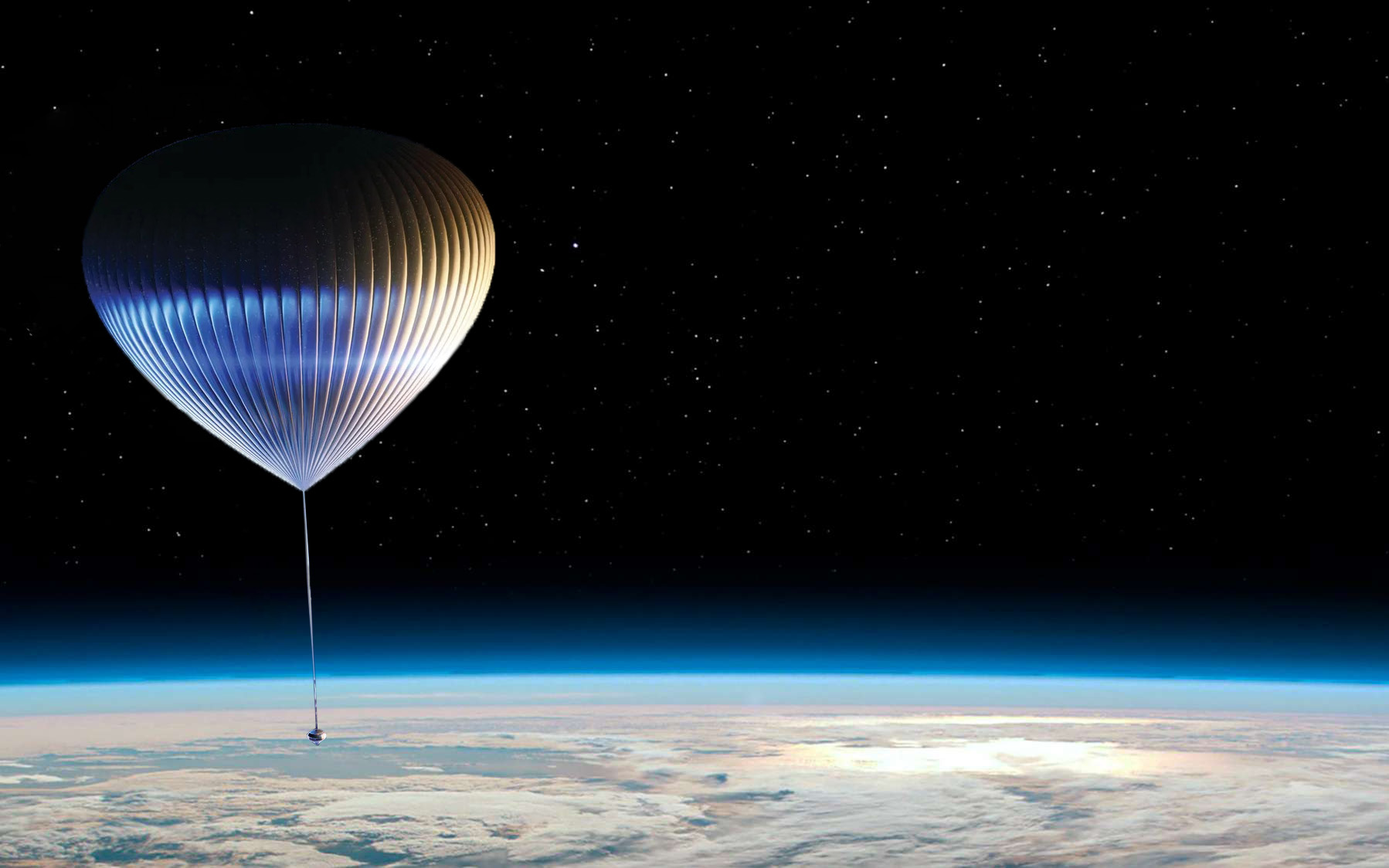
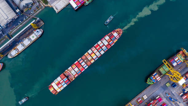
The manoeuvring stratospheric balloons, located close to the ground, can take images with an unprecedented resolution of up to 10cm and thus observe the Earth with an unrivalled level of detail.
We design and operate a fleet of maneuvering stratospheric balloons dedicated to imaging a large area of interest (100km). The images (visible and near infrared) are available live through a web interface.
We also sell databases of images of specific areas recorded during previous missions.
Stratolia's manoeuvring stratospheric balloons keep themselves above an area of interest by exploiting differences in wind speeds at different altitudes. This technology was first demonstrated by Google's Project Loon.
We have developed an improved algorithm for controlling the trajectory of the balloons in the stratosphere, allowing them not only to be kept above almost any site to be observed, but also to scan an area to be imaged.
We have also developed a stabilised gondola, suspended below the balloons, to capture optical and infrared images at a resolution of up to 10cm. It can also be fitted with specialised sensors as required.
contact@stratolia.space