
Who We Are
Stratolia is pioneering a new standard in Earth observation by deploying a network of autonomous stratospheric balloons, operating at 20 km altitude, to capture ultra high-resolution imagery at scale. We deliver actionable, always up-to-date visual data — at 10 cm per pixel — at a fraction of the cost and latency of satellite systems.
We believe the next revolution in Earth intelligence will be powered by domain-specific AI agents. These systems will require continuous, rich visual context of our planet to operate.
Stratolia is the foundational layer — the sensing infrastructure that enables them.

What We Do
Revolutionary Earth observation technology that delivers unprecedented detail and freshness
- • 10 m per pixel resolution
- • Orthorectified & georeferenced
- • Optimized for AI integration
- • Continuous balloon launches
- • Weekly or Monthly refresh
- • Built for change detection
- • Proprietary wind algorithms
- • Dynamic repositioning
- • Minimal energy consumption
- • Fraction of satellite costs
- • Minimal ground infrastructure
- • Country-wide coverage
See the Difference
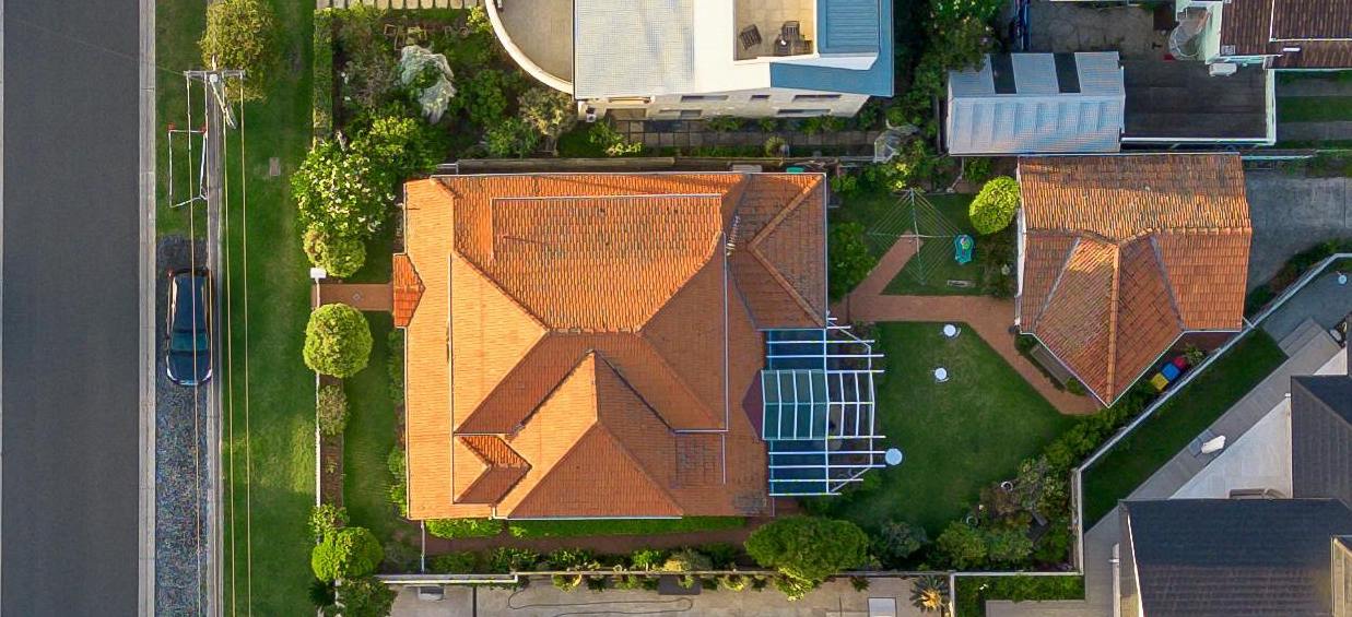
Experience the unprecedented detail of our 10cm Ground Sample Distance imagery

Unmatched Clarity
At 10 centimeters per pixel, our imagery captures details that were previously impossible to see from the stratosphere. Individual cars, swimming pools, property boundaries, and even small objects are clearly visible.
Real-World Impact
See how industry leaders are transforming their operations with Stratolia's high-resolution imagery
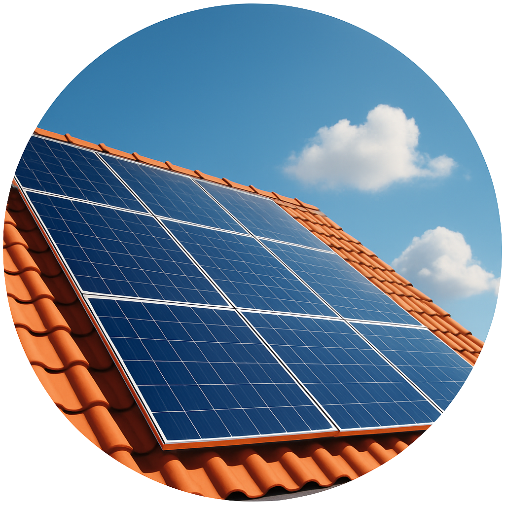
Save Time, Win More Quotes
Results
"We now quote 3x faster without leaving the office."
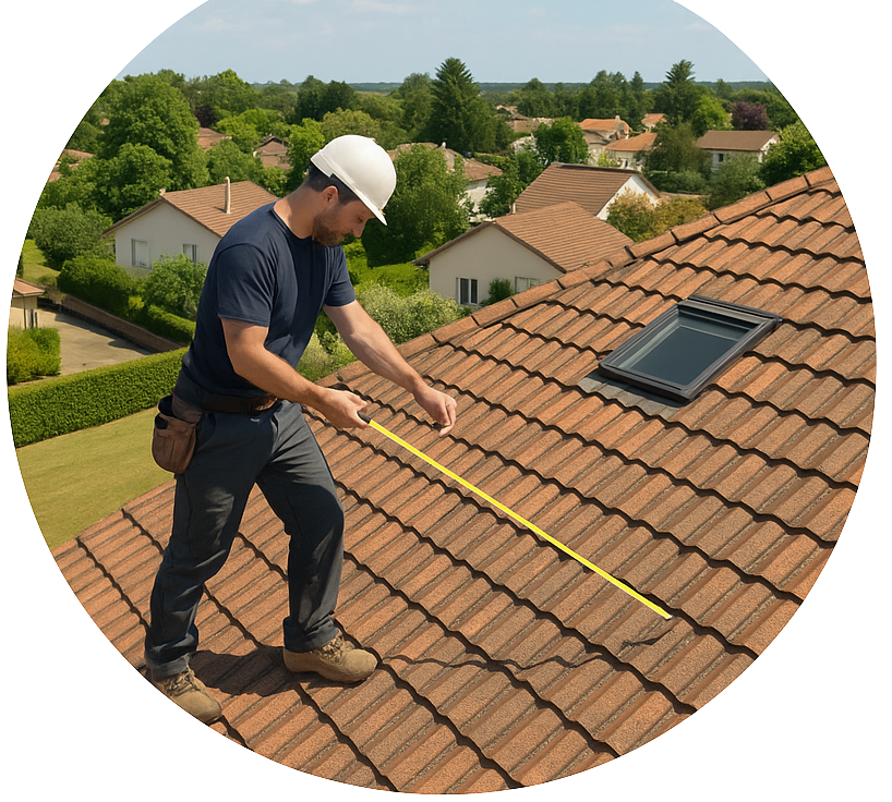
Fast, Remote Roof Assessments
Results
"We pre-qualify leads and design systems without ever setting foot on the roof."
— Les Nouveaux InstallateursReady to Transform Your Business?
Join industry leaders who are already leveraging Stratolia's high-resolution imagery to streamline operations and increase profitability.
One single API
Seamlessly integrate high-resolution aerial imagery into your applications for end-user software applications
Live API Response
JSON Response Format
Our API returns structured data with comprehensive metadata for each aerial image, making integration seamless.
{
  "address": "135 E George Ave, Galesburg, Michigan 49053, USA",
  "image_url": "https://api.stratolia.com/aerial/135_E_GeorgeAv_2025-01-15.jpg",
  "image_resolution": "10cm",
  "capture_date": "2025-01-15",
  "gps_coordinates": {
    "latitude": 42.8842,
    "longitude": -85.3604
  },
  "area_label": "urban",
  "older_available_images": 5
}
API Features
Integration
Use Cases
Powering the next generation of AI-driven applications across industries
Why Now?
Satellite systems are too expensive, slow, and coarse for the AI-powered applications of the future.
Ground-level and drone data is limited in coverage and frequency.
The rise of AI Agents creates a need for live, reliable, structured visual data.
Stratolia provides this missing link.
Join the Mission
We're hiring engineers, scientists, and creatives who want to work at the edge of aerospace, Earth observation, and machine intelligence.